
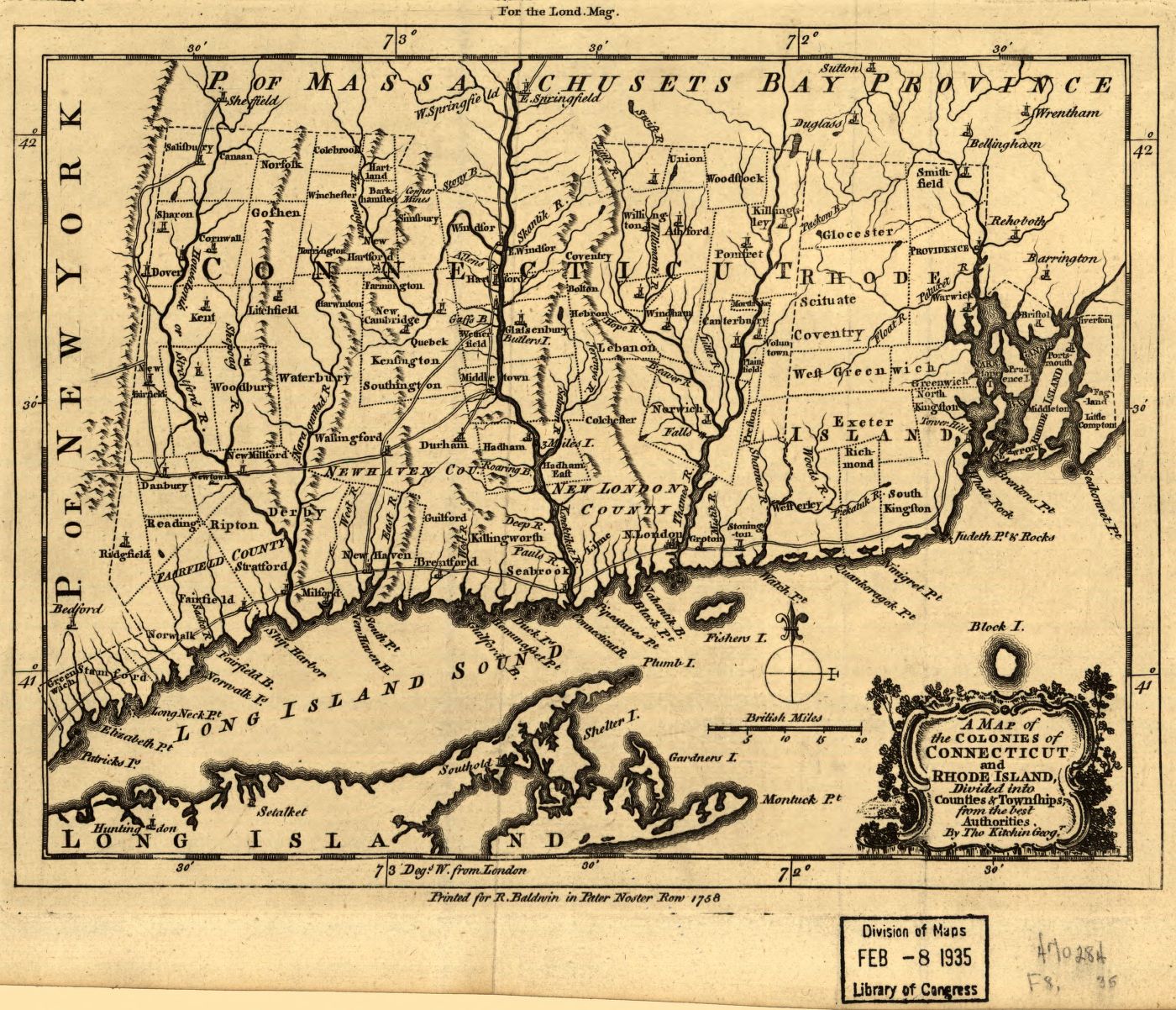
A map of the colonies in Connecticut and Rhode Island.
A map of the colonies in Connecticut and Rhode Island, divided by counties & townships, from best authorities. Thomas Kitchin, 1758
– Printed for R. Baldwin.
– From The London magazine: or, Gentleman’s monthly intelligencer (1758), vol. 7.
– LC Maps of North America, 1750-1789, 805
Digital Id
g3780 ar080500 http://hdl.loc.gov/loc.gmd/g3780.ar080500